


-
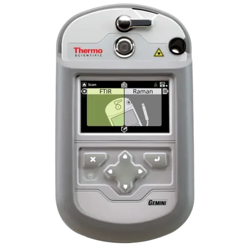 Thermo Scientific Gemini Handheld FTIR and Raman Analyzer Original price was: $9,999.00.$6,333.00Current price is: $6,333.00.Remove
 -
Customers also bought
-
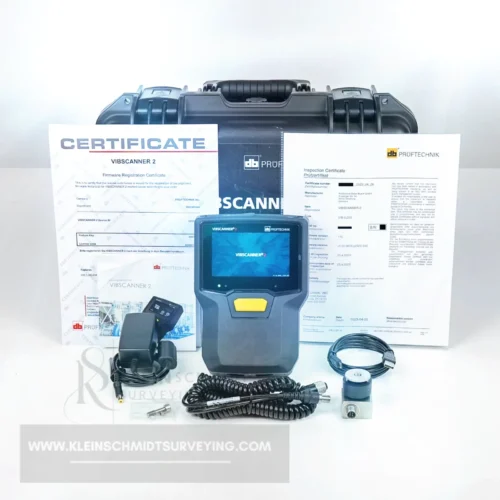
 Pruftechnik VibScanner 2 II Triaxle 3 Channel Vibration Analyzer Original price was: $6,600.00.$3,333.00Current price is: $3,333.00.
 -
-

-
-
Support Center


-
 Sale
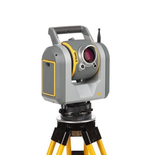
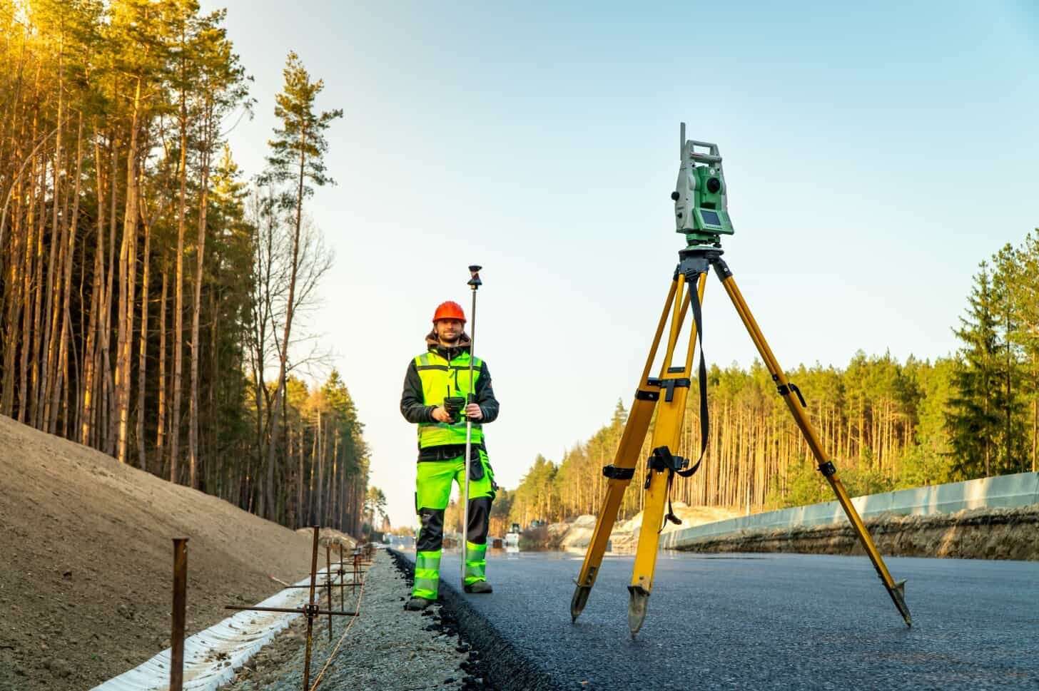
SaleTrimble SX12 1″ Scanning Robotic Total Station
Original price was: $27,777.00.$17,777.00Current price is: $17,777.00. Add to cart -
 Sale
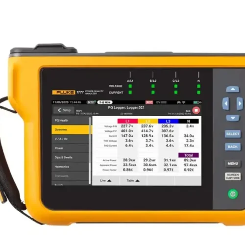
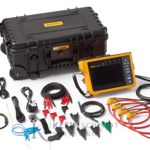
SaleFluke 1777 Three-Phase Power Quality Analyzer
Original price was: $20,000.00.$10,500.00Current price is: $10,500.00. Add to cart -
 Sale
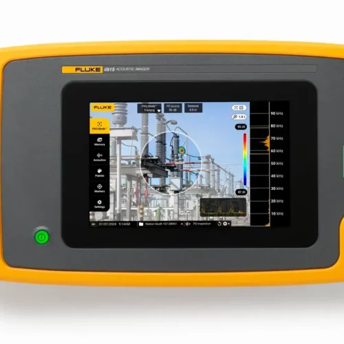
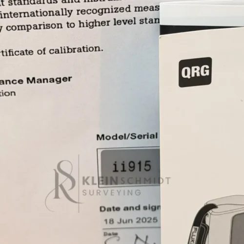
SaleFluke ii915 Industrial Acoustic Imager
Original price was: $25,000.00.$15,500.00Current price is: $15,500.00. Add to cart -
 Sale
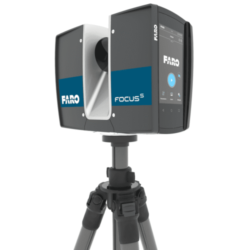
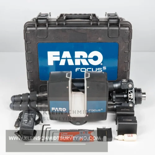
SaleFaro Focus S70 3D Terrestrial Laser Scanner
Original price was: $17,999.00.$7,999.00Current price is: $7,999.00. Add to cart -
 Sale
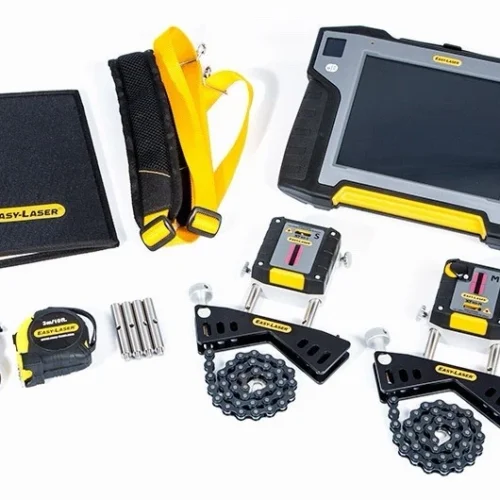
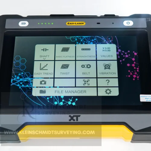
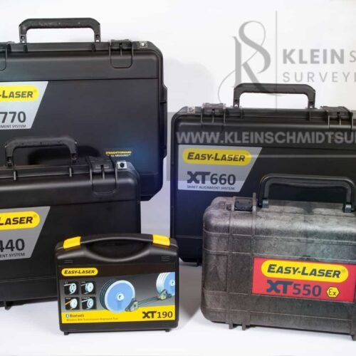
SaleEasy Laser XT440 Advanced Laser Shaft Alignment System
Original price was: $6,666.00.$3,333.00Current price is: $3,333.00. Add to cart -
 Sale
SaleEasy Laser XT770 Shaft Alignment
Original price was: $10,999.00.$5,999.00Current price is: $5,999.00. Add to cart


Guaranteed Authenticity
Every unit we sell is completely genuine and factory-tested. They come with official manufacturer warranties.

25 Years Experience
We have a strong reputation as a reliable supplier of surveying, mapping, and test equipment. Professionals around the world trust us.

After-Sales Service
Our in-house technicians provide comprehensive support, from calibration to repairs. They help you keep your equipment accurate and last longer.
At Kleinschmidt Surveying, our mission has always been to deliver precision, trust, and performance in every instrument we provide. It also celebrates our commitment to improving the global surveying and measurement community through innovation and great service.
Kleinschmidt Surveying sets the standard for surveying and mapping. We offer fast worldwide shipping and low prices. Whether you’re building, inspecting, or designing, you deserve the best — and the best choose Kleinschmidt Surveying.
Accuracy. Strength. Trust. Delivered.